
This is the second of a series of walks following the 73-mile Cumbria Way (CW) between Ulverston and Carlisle.
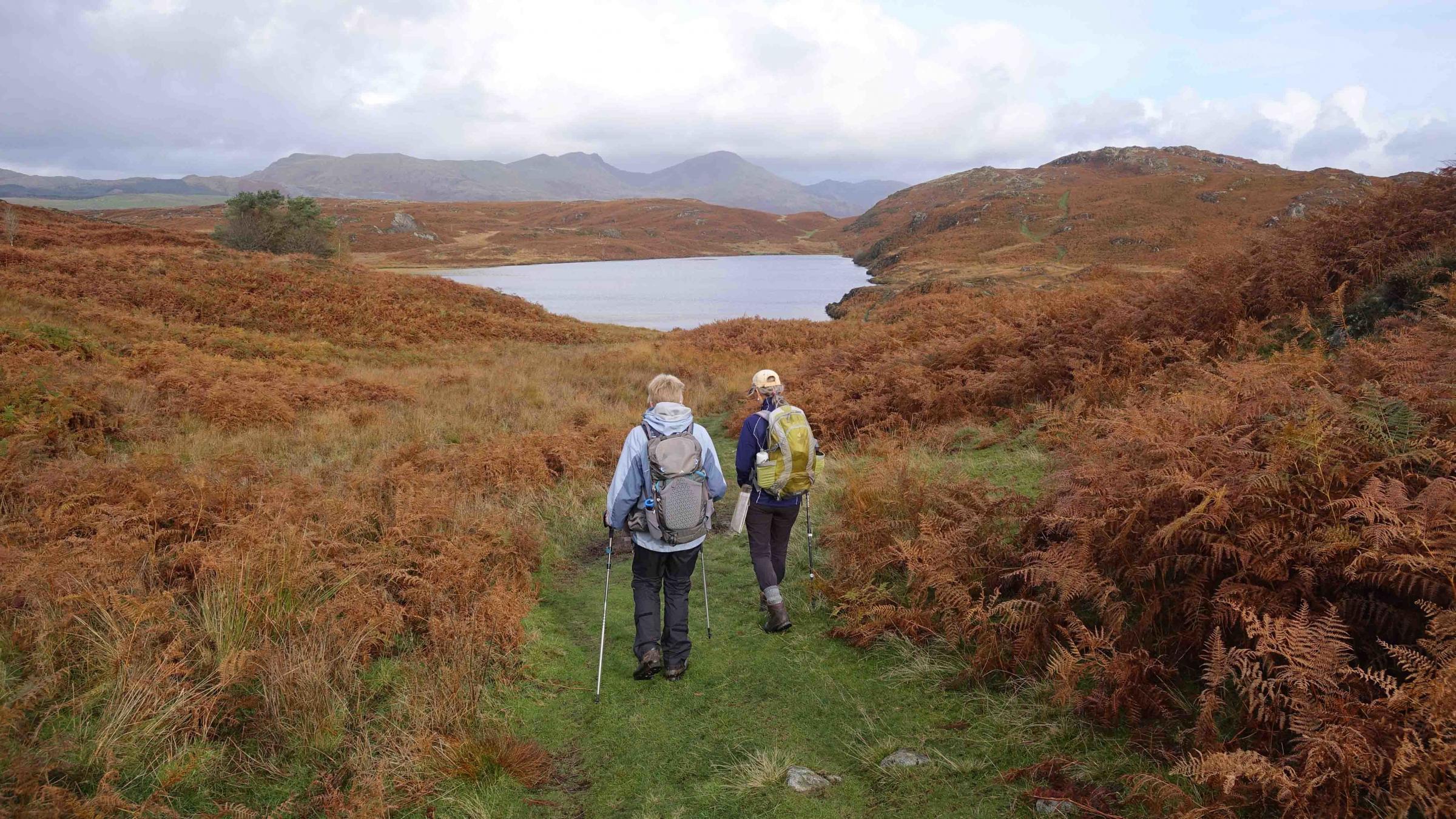
This linear walk begins from where the first finished and follows 7 miles of the CW, including 3 miles across Blawith Fells and 3 miles beside Coniston Water. The fell area is part of Subberthwaite, Blawith & Torver Low Commons and comprises a range of upland habitats including twenty-nine types of mire plant communities, heath, open water, base rich flushes, acid grassland, bracken and some woodland and juniper scrub. It supports dragonflies, natterjack toads and rare sedge, rush and orchid species.
To get to the start, catch the X12 (Ulverston) bus at 9.30 from Coniston and alight at Water Yeat. Walk 1 mile along a pleasant valley to join the Cumbria Way at Cockenskell. Follow the Cumbria Way past Beacon Tarn and along the shore of Coniston Water to Coniston.
Water Weat to Conniston
Description
1. Alight from the bus at Water Yeat, cross the road and walk along the lane past the blue village hall and Greenholme Farm. Continue along the grassy track for 150 yards then turn left at a wall stile next to a farm gate. Descend to the woods ahead beside Greenholme Beck. Follow the beck upstream past a sunken stone structure, over a footbridge and through a gate. Keep to the side of the beck until approaching a wall ahead then veer left up the field to cross a stile. Follow the wall on the right to merge with a lane and go through the metal gate at Cockenskell.

Water Weat to Conniston
2. Walk past the cottage, through a gate then turn right onto the Cumbria Way. Follow the main path, keeping left at junctions, for the next 1,000 yards (0.6mi) to Beacon Tarn. Skirt around the left of the tarn, choosing the best route around boggy areas. After a further 1.5 miles the Way meets a lane leading to Stable Harvey Farm. The name Harvey probably originates from Bretons who came to England in 1066. Turn left then left again past a solitary tree. The path swings right to head northwards towards Torver Tarn (also known as Throng Moss reservoir). Turn left at the junction with a minor path, cross stepping stones over Mere Beck then turn right to head down a valley. If you meet Torver Tarn go back to the turn you just missed! The path descends past juniper trees to Torver Beck. Cross the footbridge then walk uphill and cross the A5084. Turn left then right onto the footpath signed Coniston.
Water Weat to Conniston
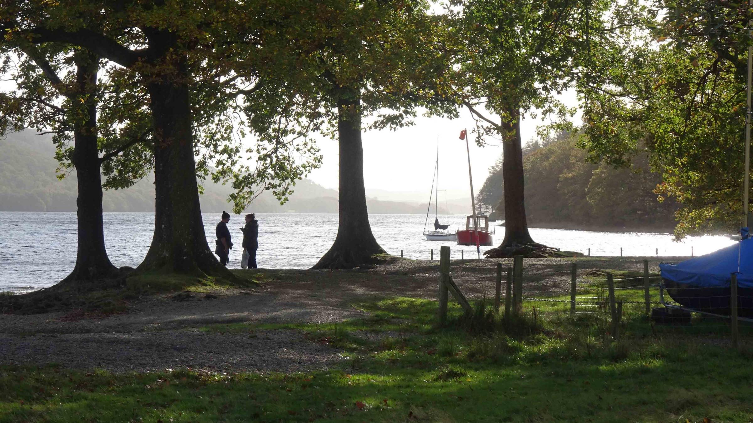
3. Follow the main path descending to the right to meet the edge of Coniston Water at Sunny Bank jetty. The Way now follows the lakeside for 2.5 miles to the late 16th century Coniston Hall. The first mile is tricky with rocks and roots underfoot and low branches overhead. Past the hall follow the track towards Bowmanstead but turn right at a gateway in the corner of a hedged field and follow the hedge on the left to Lake Road. Turn left and at the main road right, into the centre of Coniston. Walk past the church back to the bus stop on the right where the bus was caught earlier.

Water Weat to Conniston


Comments: Our rules
We want our comments to be a lively and valuable part of our community - a place where readers can debate and engage with the most important local issues. The ability to comment on our stories is a privilege, not a right, however, and that privilege may be withdrawn if it is abused or misused.
Please report any comments that break our rules.
Read the rules here