

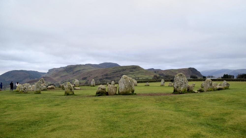
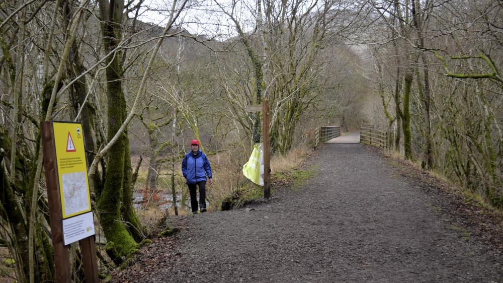
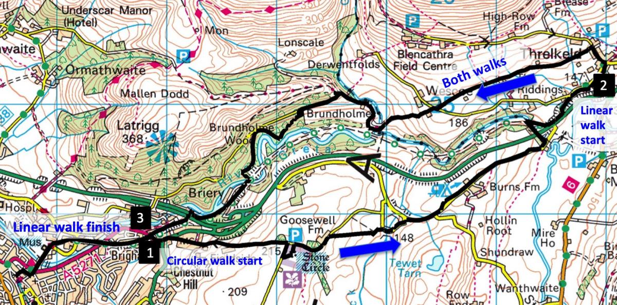
A £7.9 MILLION funding package has been agreed to reconnect the Keswick to Threlkeld (K2T) railway trail severely damaged by Storm Desmond in December 2015. Over the next two years two new bridges will be constructed and a third will be repaired and improved. There will also be 220 yards of new paths created. Meanwhile, the trail can be followed by an alternative route, offering the choice of a five-mile linear or a seven-mile circular route that includes a visit to Castlerigg Stone Circle.
The circular walk starts from a minor road in Keswick called Eleventrees (map ref NY 280 237). Take the 555 bus or drive to Chestnut Hill. Go up Penrith Road for 90 yards and bear right. Park on the right side of the road. Or, for the linear walk, catch the X5 bus leaving Keswick at 20 past the hour to start from Threlkeld Village Hall (NY 320 253).
Distance: 5 or 7 miles
Time: 3-4 hours
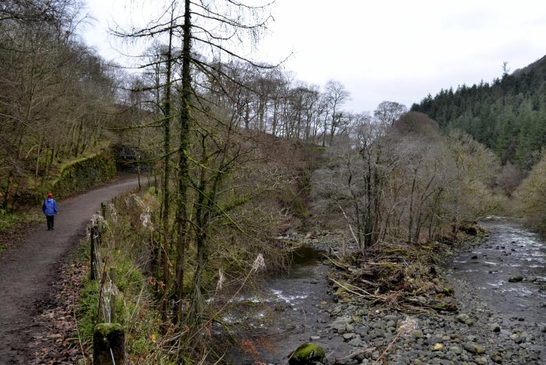
Terrain: field paths and gravelled tracks plus quiet roads
Map: OS Explorer OL4 and OL 5
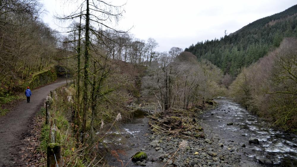
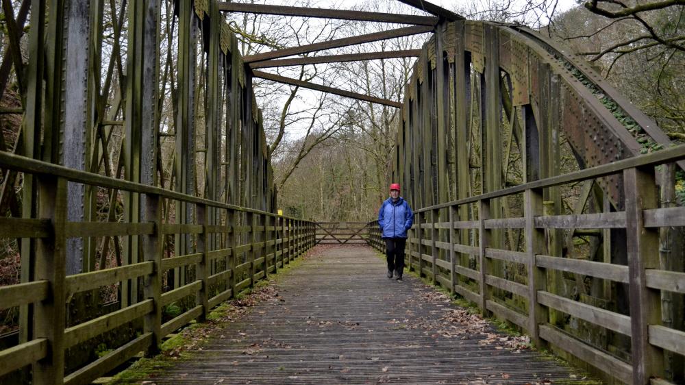
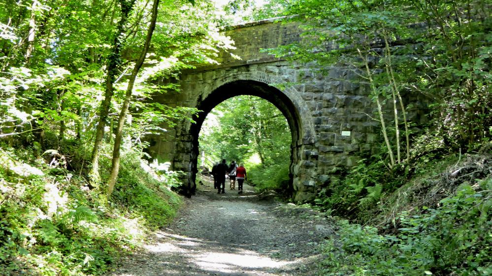
1 The circular walk from the bottom of Eleventrees begins with a steady climb up the road for three quarters of a mile to Castlerigg Stone Circle, which is on the right. This 100-feet diameter ring of about 40 stones was built more than 4,500 years ago and whatever its original purpose, the impressive location now attracts thousands of visitors. Go back to the road and turn right. Opposite Goosewell Farm turn right onto a footpath descending to Naddle Bridge. Turn right, cross the bridge then turn right again onto what was once the A66. Continue along the road for three quarters of a mile and just before Threlkeld Bridge turn left into the woods onto the path signed Threlkeld. Turn right to cross the K2T railway bridge then walk alongside the A6 and fork left into Threlkeld.
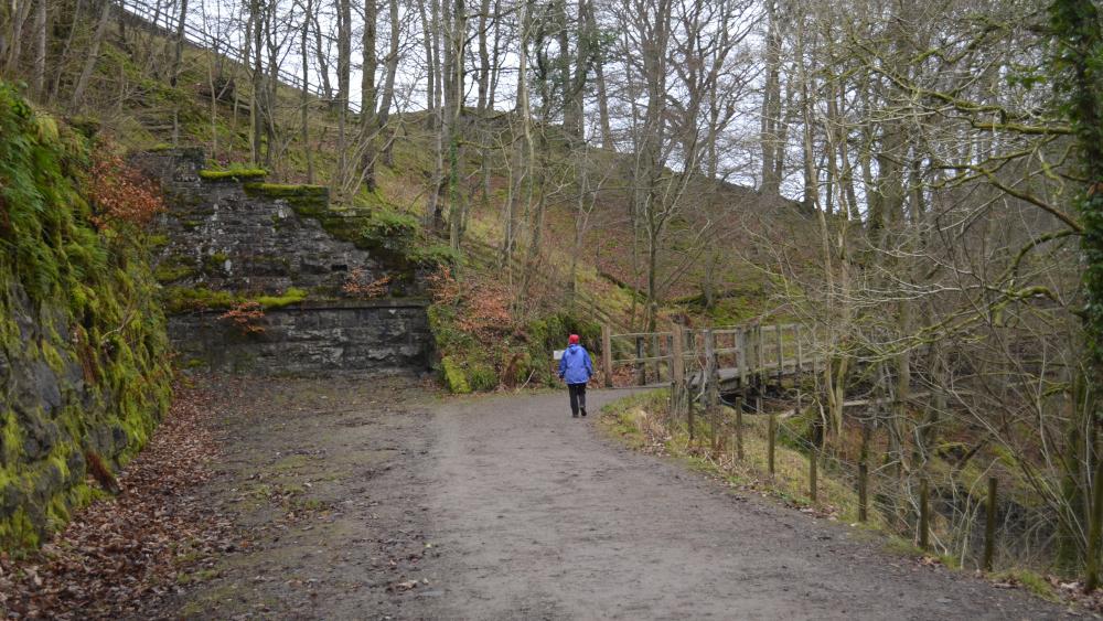
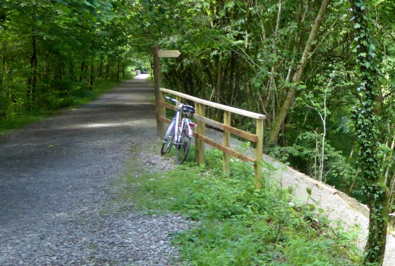
2 The linear walk starts from the bus stop just before Threlkeld Village Hall. Walk past the hall on the right then turn left and ascend Blease Road. Turn left in front of the cream cottage of Town Head onto the footpath signed Wescoe. Follow the field path keeping straight ahead to the lane at Wescoe. Turn right then left and walk down the tarmacked lane signed Gale End. Cross the bridge, go up the hill and at the top continue down the lane, signed Walking Only. Turn left at a temporary road fence onto the permitted path signed Keswick via Railway Path. Keep right in the woodlands to go along a balcony path overlooking the River Greta on the left. Turn left at the junction and meet the railway path beside a bridge. Turn right and walk along the railway path, passing Low Briery and a former tunnel entrance. The restoration plan includes reopening and extending this tunnel. Stroll along the interesting wooden walkway then under the Greta Bridge flyover and past a National Cycle Network milepost.
3 For the linear walk, continue along the track to the former railway station and return to the centre of Keswick via Station Road. For the circular walk, immediately before Penrith Road bridge, turn right to go up steps next to Travis Perkins and then turn left. At the bottom of Chestnut Hill keep ahead to continue up Penrith Road for 90 yards then bear right up the minor road called Eleventrees and signed Castlerigg Stone Circle.
Next week: Lowick Common


Comments: Our rules
We want our comments to be a lively and valuable part of our community - a place where readers can debate and engage with the most important local issues. The ability to comment on our stories is a privilege, not a right, however, and that privilege may be withdrawn if it is abused or misused.
Please report any comments that break our rules.
Read the rules here