
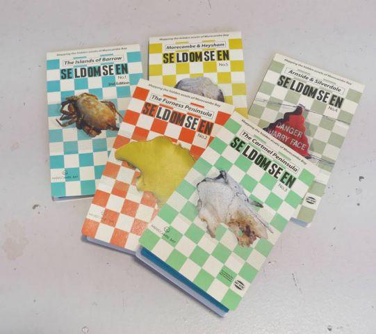
FIVE new artist-designed maps of Morecambe Bay and a walking tour app will launch this month.
Mapping the Seldom Seen was Barrow-based Art Gene’s artist-led research programme for Morecambe Bay Partnership’s 700 Days scheme, which saw more than 500 people involved with the project over the summer of 2015.
They uncovered new ways of accessing, understanding and appreciating the landscape and seascape views of five areas of Morecambe Bay: the Islands of Barrow, Furness Peninsula, Cartmel Peninsula, the Arnside and Silverdale area, and Morecambe and Heysham.
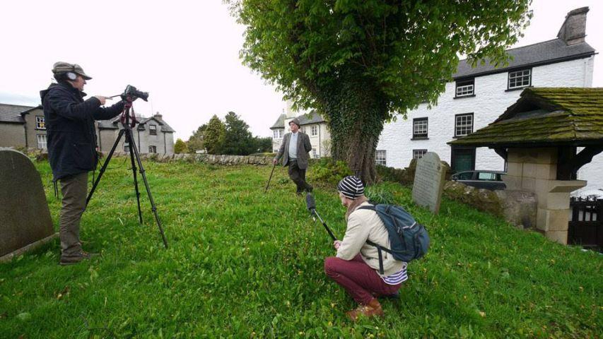
With the help of local communities, Art Gene uncovered hidden histories and personal memories which told stories of Morecambe Bay.
Mapping on Walney As a result, they have now created five unique artist designed maps and mobile phone app walking tours of five geographic areas of the bay which show the sites of significance, the histories of importance and memorable stories which have given the work depth, meaning and purpose.
The maps have been created through an extensive in-depth process of consultation by the Art Gene team and have relied on contributions by a variety of local experts and members of the Morecambe Bay community and invaluable support from partner organisations: Cumbria Wildlife Trust, Arnside and Silverdale Area Of Natural Beauty, Natural England, RSPB, The National Trust and Morecambe Bay Partnership.
From this Thursday, October 6, public launches of the maps and apps will take place across the region. The launches will involve contributions from guest speakers, refreshments and the opportunity to meet other people interested in the area’s heritage and culture. Each event will be followed by an optional short walk to take in a Seldom Seen area nearby.
The public are invited to the following launch events (all from 3pm to 6pm):
Thursday October 6 at Heysham Church Hall
Saturday October 8 at Field Studies Centre, in Grange
Thursday October 13 at Heron Corn Mill, in Beetham
Saturday October 22 at The Bay Horse Hotel, Ulverston


Comments: Our rules
We want our comments to be a lively and valuable part of our community - a place where readers can debate and engage with the most important local issues. The ability to comment on our stories is a privilege, not a right, however, and that privilege may be withdrawn if it is abused or misused.
Please report any comments that break our rules.
Read the rules here