
ONE of Cumbria’s most notorious flooding hotspots, the Lindal Dip, is undergoing a major overhaul in a bid to prevent future problems. AMY FENTON spoke to engineers behind the work to find out just how the complex civil engineering project is being carried out
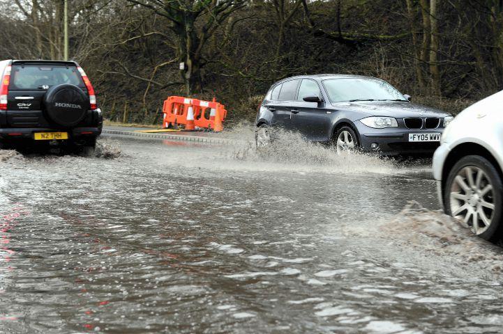
ITS name can strike fear and frustration into the hearts of even the most mild-mannered of motorists on the A590.
And yet, within just a few months, the Lindal Dip will be no more.
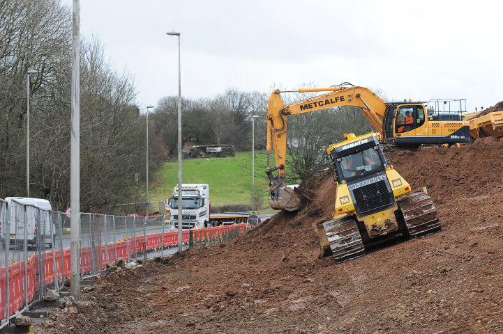
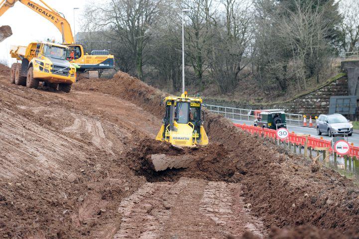
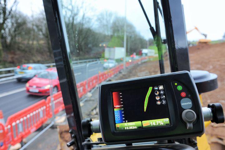
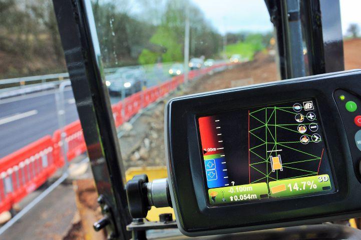
Using an innovative method, the dip will gradually be filled and the road moved by seven metres to the north west of the existing carriageway.
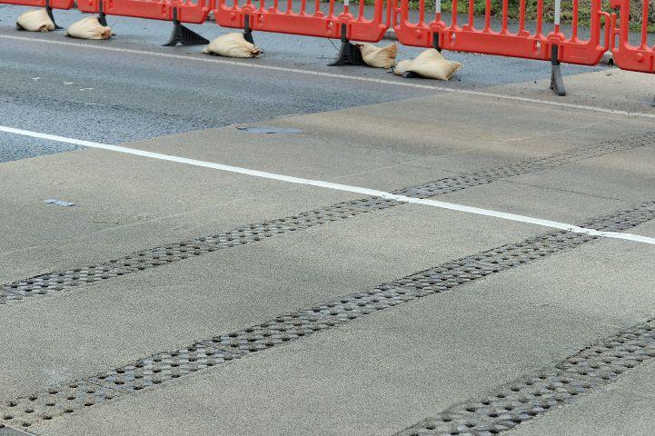
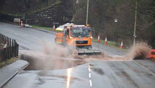
The dip has been a cause of commuter chaos for years – within the space of a couple of hours of heavy rain the carriageway begins to flood, forcing motorists to merge onto one lane until the flooding becomes so severe that industrial water pumps have to be brought in to prevent the road from being completely closed.
Highways England is responsible for the majority of the A590 and bosses at the government agency know only too well how much of a headache the Lindal Dip is.
They share motorists’ frustration at how long it has taken for a feasible fix to be found.
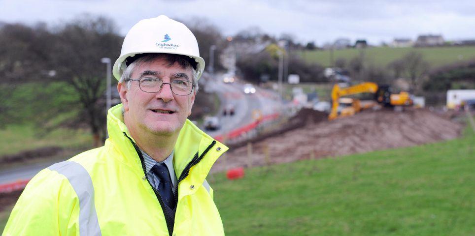
“The area historically has a background of mining,” Highways England project manager Peter Gee explained.
“We have had to do a thorough site investigation and surveys to try and identify whether the residual mine workings pose a risk to the scheme.
“While we have done that there is still a risk that when we do excavations for the drainage, some of the mine workings might migrate to the surface.”
The anger felt by many about the delays in fixing the Lindal Dip have repeatedly been directed at Highways England, yet the history and geography of the site must also take their share of the blame.
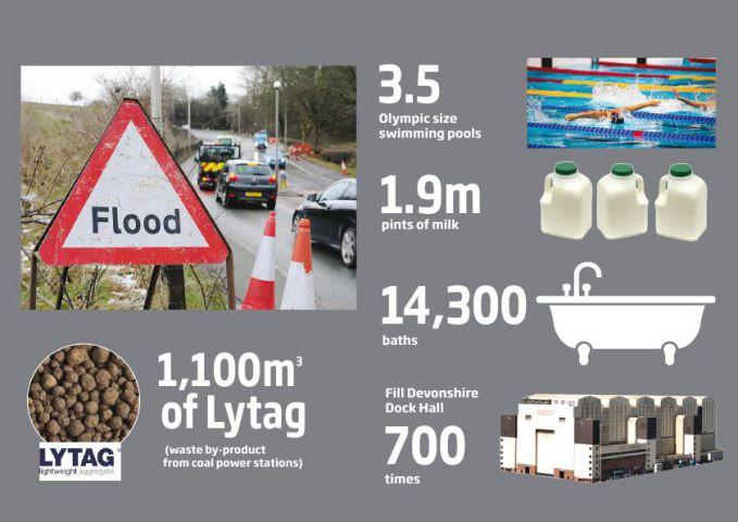
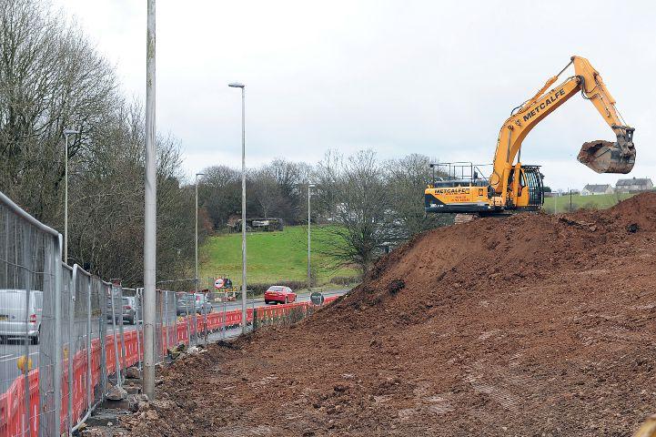
Because of the former mineworks under the site, the dip itself can't simply be filled in with rock or clay - aggregates which would typically be used in such a scheme; they would be far too heavy and risk disturbing the mines.
Instead, waste from coal-fired power stations in Yorkshire – effectively ash, is being brought over - and in huge quantities; enough to fill three-and-a-half Olympic-sized swimming pools.
That's 1.9 million pints of milk or the equivalent of 14,300 baths.
Called Lytag, the coal byproduct is just a quarter of the weight of typical aggregates used in road construction.
Mr Gee said: “In building up the foundations of the road we don't want to impose excessive loading, to minimise the risk of any future problems.”
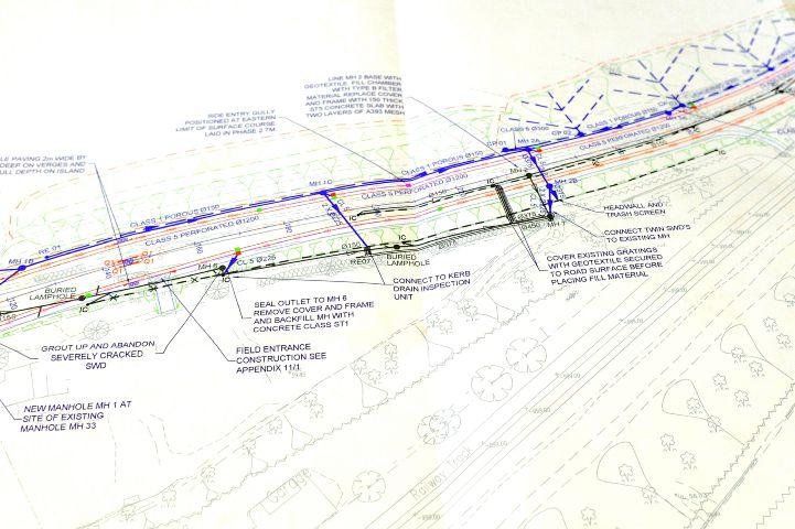
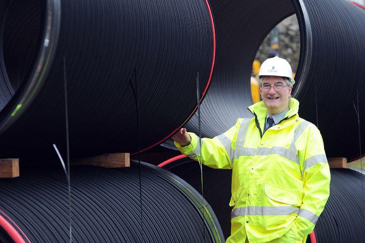
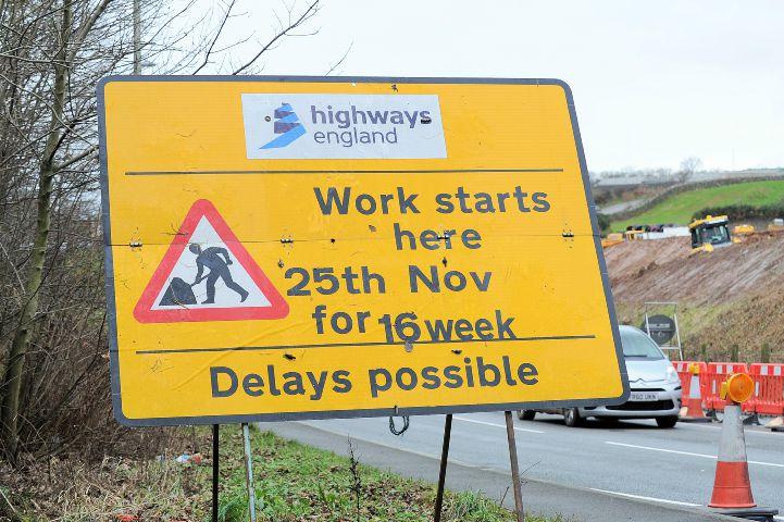
As well as filling the dip, a 1.2 metre diameter drainage pipe is being buried beneath the surface, allowing 565 cubic metres of rainwater to be safely stored and slowly released, hopefully preventing any future flooding. The entire project, costing £1.65m and being carried out by Kier, is due to be completed by the end of March.
That day can't come quickly enough for motorists. So will the new road mean the flooding hotspot will no longer flood?
“The dip won't exist anymore,” Mr Gee said. “But with climate change and the risk of ever-increasing rainfall there will always remain a risk of flooding, as there will be with any road.”


Comments: Our rules
We want our comments to be a lively and valuable part of our community - a place where readers can debate and engage with the most important local issues. The ability to comment on our stories is a privilege, not a right, however, and that privilege may be withdrawn if it is abused or misused.
Please report any comments that break our rules.
Read the rules here