
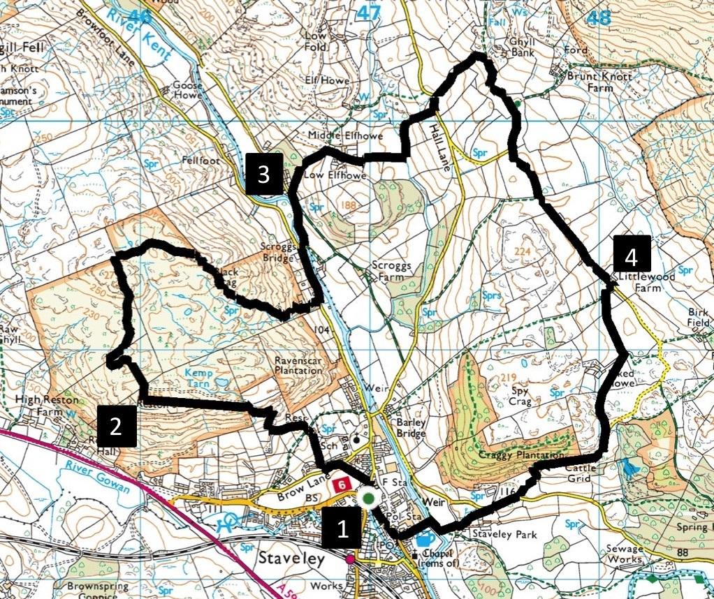
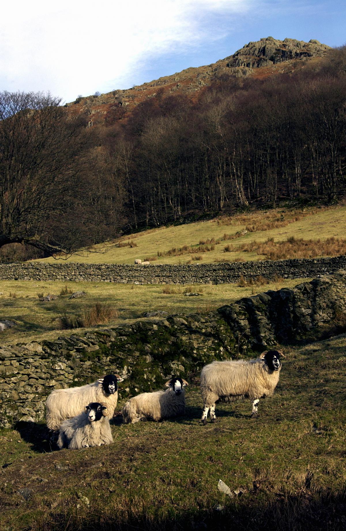
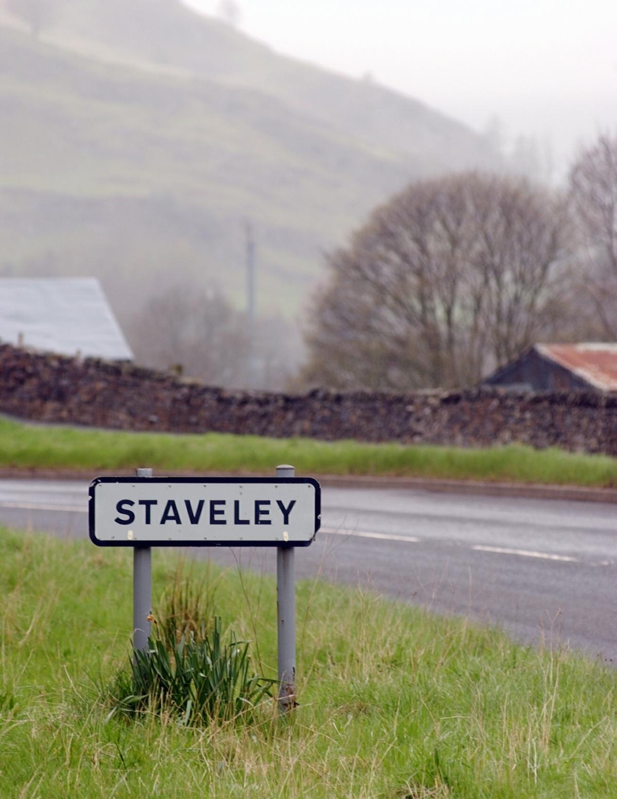
This hilly walk from Staveley starts with a moderate climb rewarded by splendid views of the village and its surrounding fells and dales. It then crosses the River Kent, passes sites of numerous water-powered mills, and returns to Staveley along quiet lanes and green pastures. Start from Staveley Village Hall (map reference SD 470 983, postcode LA8 9LY).
ROUTE
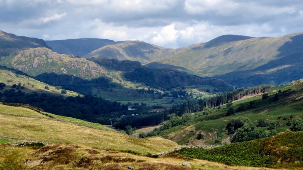
1 Walk on Silver Street (signed Kentmere) past the Fire Station and turn left along School Lane. Turn left on Brow Lane and right after 90 yards onto the Public Footpath up to Sunny Bank. Continue up the lane past the Water Treatment Works then go through a gate and up the zigzag track. Go through a high gate on the left and up a steep slope to enjoy the best views over Staveley. Continue ahead over a fence stile to the summit of Reston Scar with views over Ings and of distant fells.
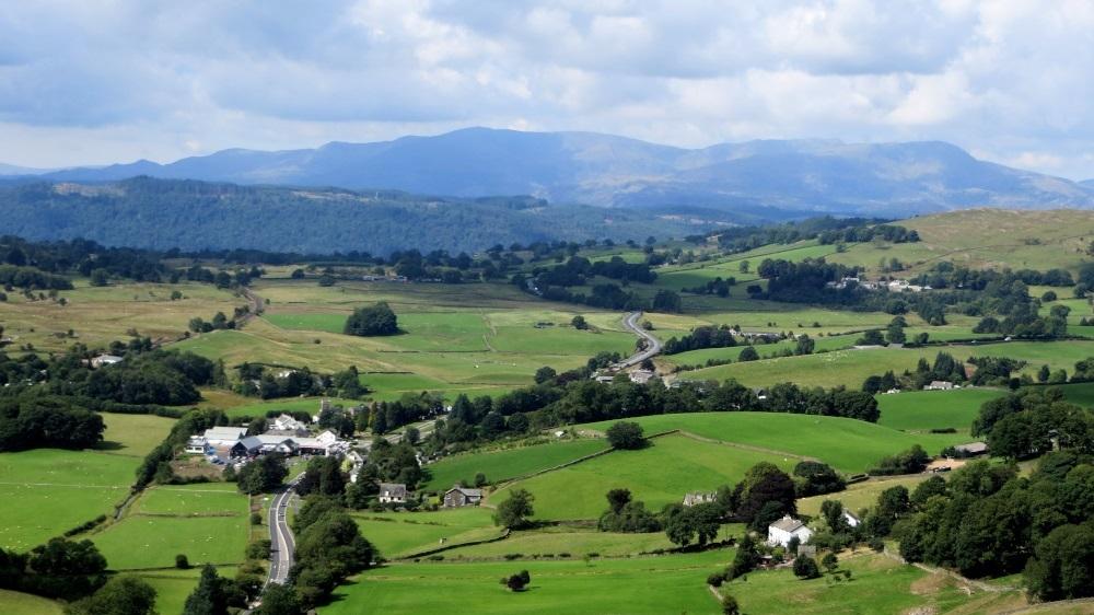
2 Descend to a gate on the right. Go through a plantation and a kissing gate then turn right beside the wall and bending left, up a hill. Views of Kentmere Fells appear ahead. Pass through a kissing gate on the right then walk ahead across a boggy area (currently covered with plastic pallets) to the top of Black Crag, the highest point of the walk. Descend in the direction of Staveley, initially following the line of the wall on the left. Go through a gate onto a concrete track past a white bungalow and at the road turn left. In the past 3 – 4 centuries this next half-mile stretch of the River Kent has seen nine water-powered mills: used at different times for grinding corn, fulling wool, smelting ores, and making metal sickles, woollen cardigans and wooden bobbins. Keep on the main road across Scroggs Bridge (whose name comes from an Old English word for brushwood). Continue up-river and fork right onto the lane signed Elfhowe.
3 Ascend to the end of the lane (signed Public Bridleway Hall Lane), bending right to Low Elfhowe then descending left along a walled track. Go through a gate over a bridge then turn left to walk beside Hall Beck. This small watercourse, also known as Haw Beck, once powered three fulling mills. (Fulling is a process of pounding woollen cloth to make it cleaner and thicker.) The path bends right and ascends to Hall Lane. Turn left then right onto a footpath to continue uphill beside Hall Beck towards Ghyll Bank. Turn right, cross a cattle grid then walk along the lane to a second cattle grid. Keep right to join a road. Keep left beside a barn and descend to Littlewood Farm.
4 Turn right at the farm onto the footpath signed Barley Bridge. Go through a gate then keep left and go through a second field gate. Continue ahead through two more gates to walk along the right of a row of tall trees. Cross a farm track then bear right in the field to go around a boggy area and cross a wall stile opposite Piked Howe farm. Keep straight ahead to meet a grassy track descending to the road. Turn right down the road towards Staveley, across a cattle grid and right at a junction. Turn left to go through a kissing gate onto the footpath signed Staveley Village and follow the path to the village. Turn right on Main Street to return to the village hall.


Comments: Our rules
We want our comments to be a lively and valuable part of our community - a place where readers can debate and engage with the most important local issues. The ability to comment on our stories is a privilege, not a right, however, and that privilege may be withdrawn if it is abused or misused.
Please report any comments that break our rules.
Read the rules here