
ANTIQUE maps will reveal their secrets about the way we used to live at a study day being held next month.
Maps and the Landscape: distortion and reality has been organised by the Regional Heritage Centre, part of the Lancaster University history department.
The event is being held at the university on Saturday February 6.
A spokesperson for the heritage centre said: "The discipline of historical geography is the study of the human, physical, fictional, theoretical, and 'real' geographies of the past.
"A common theme is the ways in which understandings of a place or region have changed through time.
"This study day will consider maps as a key piece of evidence in this endeavour."
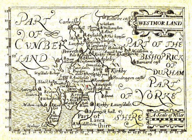
Professor Angus Winchester, of Lancaster University, will start the day with a talk called Distorted reality? Maps as historical evidence.
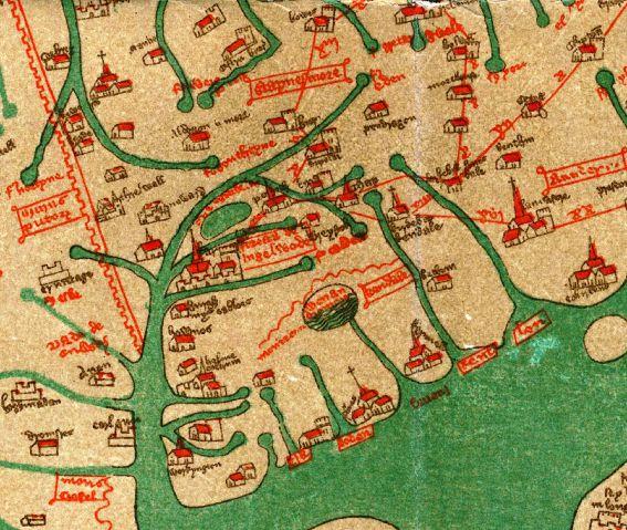
He is followed by independent researcher Dr Bill Shannon with the topic King Arthur, Tarn Wadling and the Gough Map.
Pat Saunders, an independent researcher will gives details of an influential but unreliable Dutch map of Bengal from 1726.
Dr Catherine Porter, of Lancaster University, will describe how sections of maps were copied by later publishers, looking particularly at the mapping of early modern Ireland.
The day ends with a talk by independent researcher Dr Graham Cooper on the control by the Crown of salters - or deer-leaps - in private deer-parks.
His talk offers new insights from a dispute map of Leagram park in 1608.
The talks day costs £25 and booking details are available on the website at http://www.lancaster.ac.uk/users/rhc/event


Comments: Our rules
We want our comments to be a lively and valuable part of our community - a place where readers can debate and engage with the most important local issues. The ability to comment on our stories is a privilege, not a right, however, and that privilege may be withdrawn if it is abused or misused.
Please report any comments that break our rules.
Read the rules here